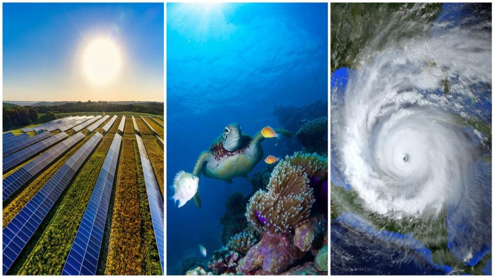
From mitigating climate change to improving disaster response and environmental monitoring, AI is reshaping how we tackle critical global challenges. Advancements in fast, high-resolution climate forecasting, real-time monitoring, and digital twins are equipping scientists, policy-makers, and industry leaders with data-driven tools to understand, plan for, and respond to a warming planet.
At NVIDIA GTC 2025, running March 17–21, thought leaders, scientists, developers, and innovators will highlight how AI is helping shape a more sustainable and resilient future. The following sessions showcase AI’s role in climate forecasting, disaster mitigation, and conservation efforts, helping communities adapt to an increasingly unpredictable world.
Strengthening extreme weather predictions and disaster response
As global warming intensifies, and extreme weather events become more severe and frequent, communities need faster and more precise natural disaster predictions and response strategies. AI is improving flood, wildfire, and hurricane modeling, enabling earlier warnings and more effective mitigation efforts. Using large-scale weather simulations, satellite data analysis, and real-time predictive insights, AI is helping emergency responders and decision-makers minimize damage, improve disaster resilience, and keep communities safe.
Sessions
Transform Natural Catastrophe Risk Simulations with Advanced Computational Tools
AXA, AWS, and NVIDIA use Earth-2 simulations to model extreme weather events at unprecedented scale and precision. These tools help insurers, urban planners, and governments prepare for disasters by improving risk estimation and resilience planning, reducing the financial and societal impact of natural disasters.
Boosting Earth System Model Outputs Using Exascale Climate Emulators
Researchers at KAUST and Saint Louis University use exascale climate emulators powered by NVIDIA GPUs to accelerate and refine earth system model outputs. Achieving ultra-high spatial resolution (3.5 km), these models enable more accurate storm and climate simulations, improving extreme weather predictions, and helping emergency responders, insurers, and policymakers improve disaster response planning and climate resilience
Harnessing AI for Advanced Flood Risk Modelling and Mitigation Strategies
JBA Risk Management uses AI-driven weather models, including Spherical Fourier Neural Operators, to simulate storm seasons with greater accuracy. Using NVIDIA NIM, these models improve flood risk assessment, disaster response planning, and infrastructure investment decisions, all while reducing computational costs.
Near-Real-Time Fire Detection Leveraging Edge AI in Space: Transforming Thermal Earth Observation with NVIDIA
Wildfires require rapid response to minimize devastation. OroraTech’s use of NVIDIA Jetson technology onboard CubeSats delivers fire detection within 60 seconds, providing first responders with critical real-time data to deploy resources more effectively.
Autonomous Systems and Remote Sensing for Better Earth Data
Autonomous aircraft equipped with AI are revolutionizing environmental monitoring by collecting high-resolution data at scale. MIT researchers showcase how these low-cost, long-range systems gather critical data for precision agriculture, disaster response, and environmental assessments, providing actionable insights at scale.
Advancing AI-driven environmental monitoring and conservation
AI is transforming environmental monitoring, conservation, and ecosystem management with advanced digital twin technology and autonomous systems. From high-resolution coral reef modeling to large-scale ecosystem assessments, these innovations provide scientists and conservationists with critical insights to guide conservation strategies and protect biodiversity.

Exploring Earth’s Oceans: Using Digital Twins to Drive Digital Ocean Collaboration
Oceans regulate climate and support biodiversity, but their complexity makes them challenging to study. MITRE uses NVIDIA Omniverse to create digital twins of ocean systems, enabling real-time simulations and predictive modeling. These tools foster collaboration among scientists, policymakers, and educators to improve marine resource management, drive conservation efforts, and bolster climate resilience.
In-person posters
Photo-Realistic 3D Digital Twin to Enhance Understanding of the Great Barrier Reef
AI-powered 3D digital twins are advancing how researchers model and monitor coral reef ecosystems. Using Reef-NeRF and Reef-3DGS, scientists can create highly detailed reconstructions to track coral health, measure structural changes, and assess the impacts of climate change. These tools provide conservationists and policymakers with critical data to inform reef recovery strategies and improve long-term conservation efforts
Mangrove Simulation Predicts Carbon Sequestration Solutions
Mangrove forests are a key solution to carbon capture and climate mitigation, but effective restoration requires precise monitoring and management. ID Water Co., Ltd. is using AI-powered irrigation automation and GPU-driven carbon sink modeling to improve mangrove reforestation efforts. These models improve survival rates, optimize carbon sequestration, and address verification challenges, making large-scale restoration more feasible and impactful.
Revolutionizing Antarctic Flora Monitoring with AI and Drones
AI-powered drones and hyperspectral imaging are enabling high-precision mapping of Antarctic vegetation. Using NVIDIA GPUs, researchers can detect moss and lichen with over 99% accuracy, providing key insights into climate-driven ecosystem changes while reducing the need for invasive field surveys in this fragile ecosystem.